Negative Number: 16730
Latitude: 41.0
Longitude: 74.0
Geographical Classification:
North America: United States and Possessions (Except Asiatic Possessions): Middle Atlantic States: New Jersey
Card Front:
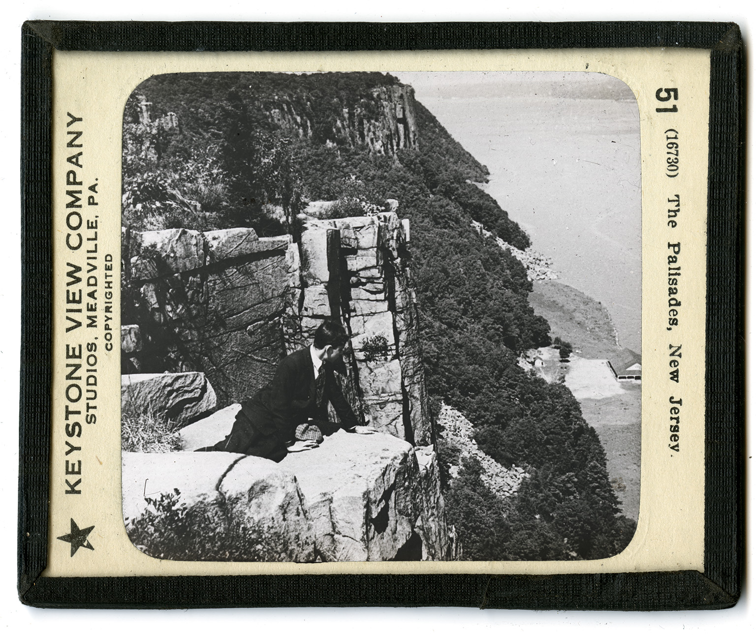
The Palisades is the name given to the steep cliffs on the west shore of the Hudson River from Hoboken to Piermont. This is a distance of almost 25 miles. At its highest point the cliffs are about 500 feet above the water of the river. For the most part the Palisades are very steep, dropping off sharply to the water's edge. The effect of the Palisades as seen from the Hudson cannot be imagined. Great peaks of rock project above the general level line of the top, giving the effect of old castles. The traveler never tires of watching the ever-changing view as the steamer moves along. Now dark and forbidding, as clouds shade the line of cliffs; now peaceful and quiet in the summer sunshine; rough and barren rock in one spot; wood upon wood in another -- it is no wonder that the Palisades have different moods. Near the narrow, rocky shore, beneath the cliffs, hundreds of boats draw up in summer;
Card Back:
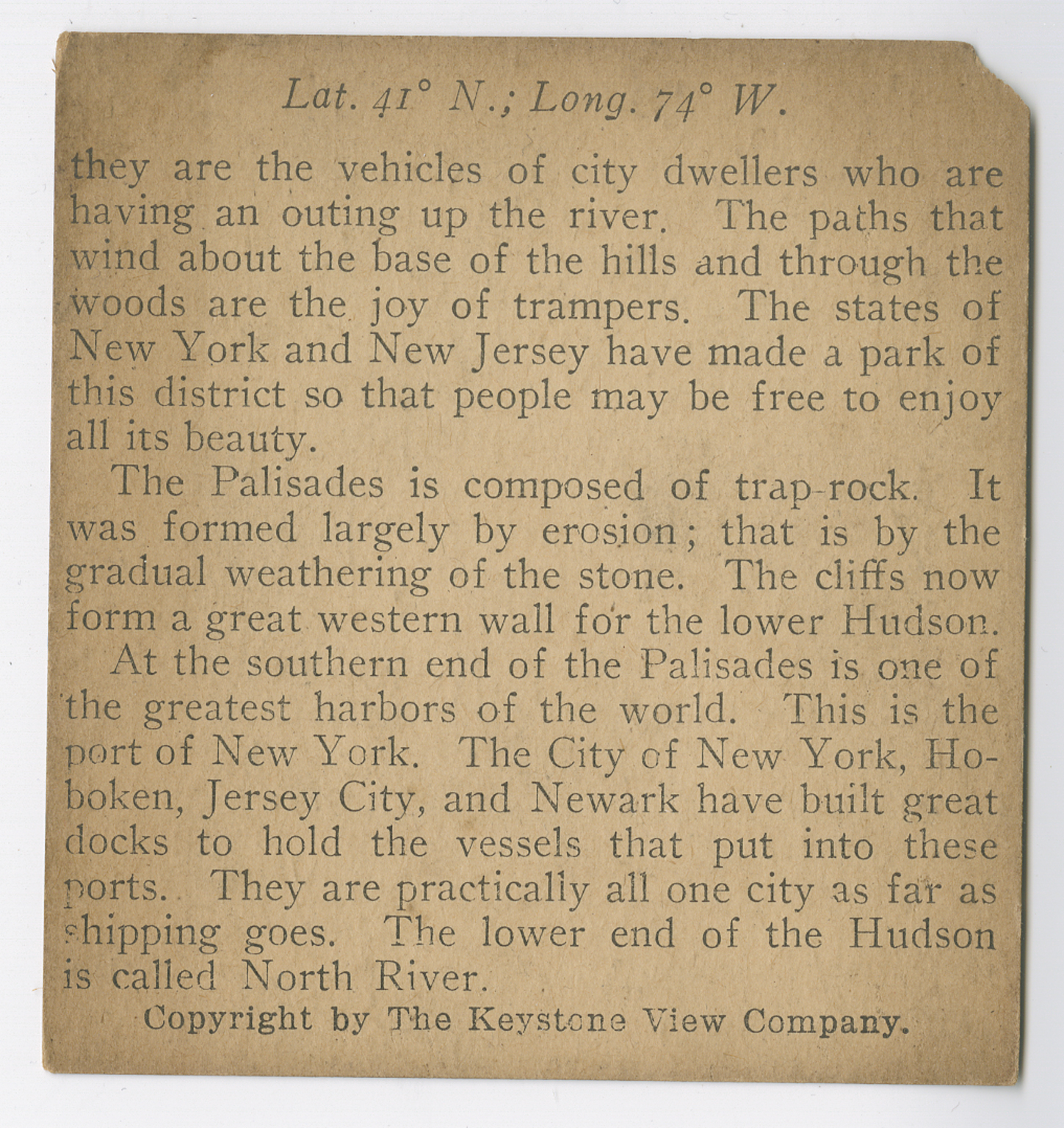
they are the vehicles of city dwellers who are having an outing up the river. The paths that wind about the base of the hills and through the woods are the joy of trampers. The states of New York and New Jersey have made a park of this district so that people may be free to enjoy all its beauty. The Palisades is composed of trap rock. It was formed largely by erosion; that is by the gradual weathering of the stone. The cliffs now form a great western wall for the lower Hudson. At the southern end of the Palisades is one of the greatest harbors of the world. This is the port of New York. The City of New York, Hoboken, Jersey City, and Newark have built great docks to hold vessels that put into these ports. They are practically all one city as far as shipping goes. The lower end of the Hudson is called North River.