Negative Number: 6436
Latitude: 53.0
Longitude: 5.0
Geographical Classification:
Europe: Holland
Card Front:
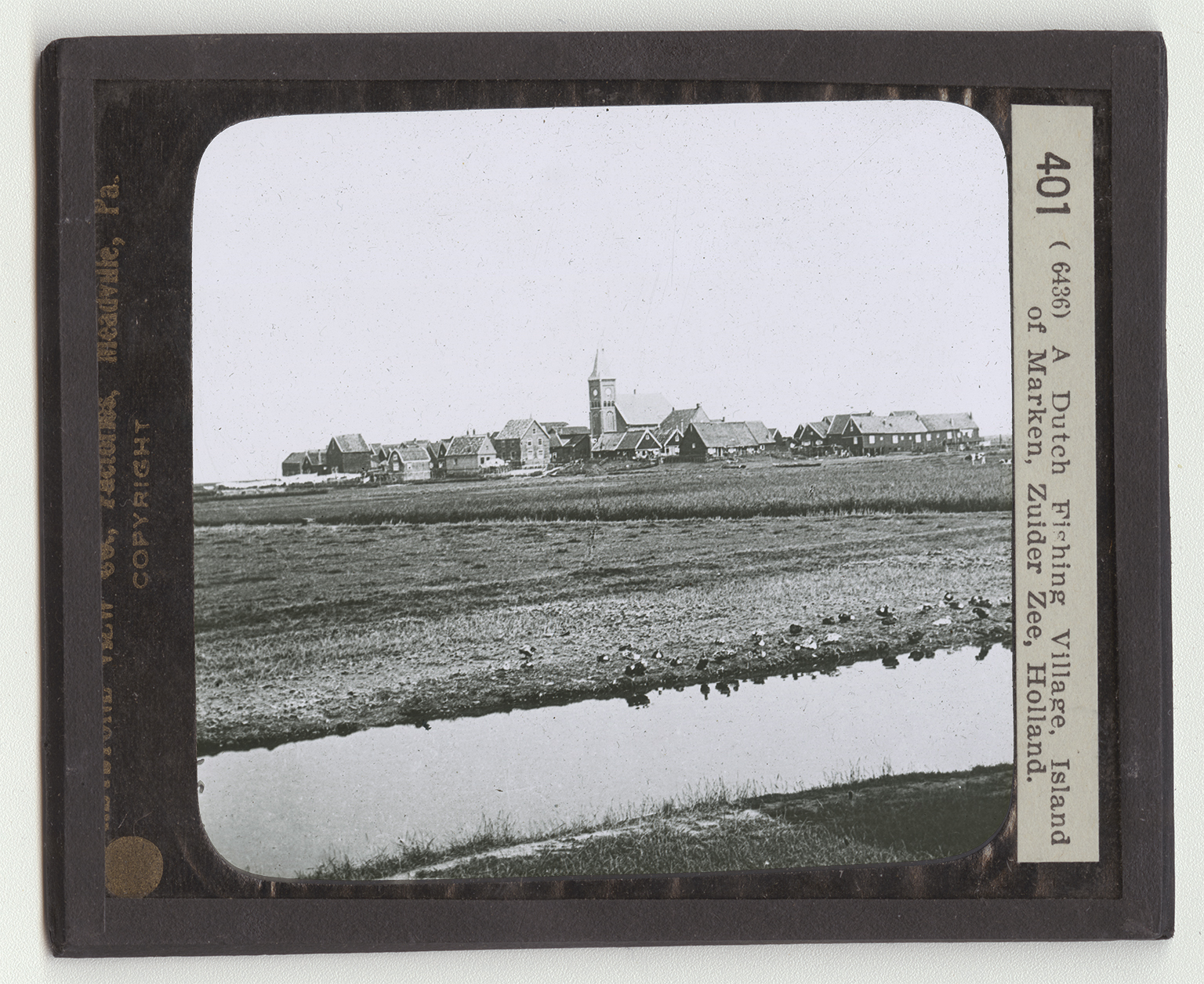
Open your geographies to the map of Netherlands. You see that the sea has bitten out of the center of it a great mouthfull of land. This stretch of water is called Zuider Zee. "Zee" in Dutch means "sea." Ages ago the sea covered a large part of the land we now call Netherlands. Then the waters lowered. Sand dunes were piled up with great arms of the ocean running far into the land. But the rivers brought down soil and filled up the channels. Then the Dutch came, and they set to work to help Nature out. They built dikes like the sand dunes, and pumped the water back into the oceans. Thousands of acres in Netherlands have thus been captured from the sea. The work is still going on. The Zuider Zee is being drained and filled in from year to year. Some day the Zuider Zee may not be on the map of Holland. You are looking at one of the flat islands of the inland sea. It looks to be scarcely above the
Card Back:
water's edge. Not a tree is in sight. The houses of the little fishing village are huddled together as if they were afraid. The people, at least, have one great fear hanging over them. This is that the sea may rush in during a storm and flood their land. But the fishermen are bold. To the northwest is one of the greatest fishing grounds in the world. Here the Dutch trawlers go for their catch. They are manned by hardy sailors as bold as Hendrik Hudson. Perhpas the dutch have fought the sea so long they are naturally its masters. At any rate their vessels have explored all parts of the world. Dutch colonies are in both Americas and in the far-away East Indies. The Dutch East India Company has played as important a part in the history of commerce as that of the Hudson Bay Company of the English. What did Hudson discover?