Negative Number: 12833
Latitude:
Longitude:
Geographical Classification:
North America: Southern Countries of North America: Central America: Nicaragua
Card Front:
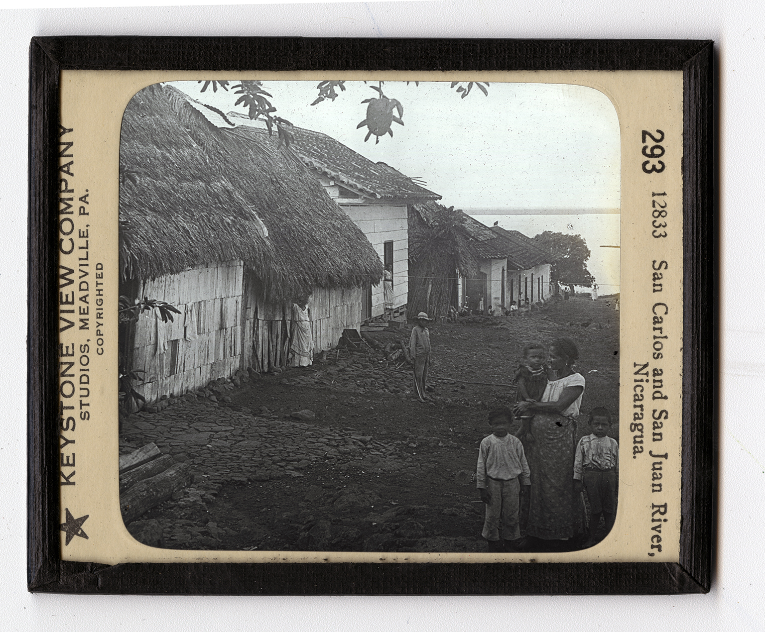
The people of Nicaragua Central America, are mixed Spanish and Indian. The littered street and general appearance of the people and their thatched-roofed houses show you that they are of the lazy, care-free temperament often found in warm climates. The water in the background is the San Juan River. It drains Lake Nicaragua, the largest body of fresh water in North America, south of the Great Lakes. Lake Nicaragua is 110 miles long, and covers an area of about 3,000 square miles. A large part of the lake is less than fifty feet deep. This lake is of especial interest to us because it is part of one of the two routes that were considered for a canal connecting the Atlantic and Pacific oceans. The route using this lake and the San Juan River was known as the
Card Back:
Nicaraguan route, and for some times was favored by the United States. The Panama Canal route was finally chosen because of the danger from the active volcanoes in Nicaragua. Two canals, however may soon be necessary. To provide for this the United States Senate in March, 1919, made a treaty with Nicaragua by which it was agreed that for a payment of $3,000,000 the United States shall have the right to build a canal and establish a naval base at Point Coseguina on the southern shore of the Bay of Fonseca. Also the United States is to have the ownership of two islands in the Caribbean Sea. If we build a canal along the Nicaraguan route it will be about 170 miles long. Of that distance only 28 miles will need excavation after using Lake Nicaragua and the San Juan River.