Negative Number: 10252
Latitude: 19.0
Longitude: 66.0
Geographical Classification:
North America: United States and Possessions (Except Asiatic Possessions): Outlying Possessions of the United States (Except the Philippines and Guam): Porto Rico

Card Front:
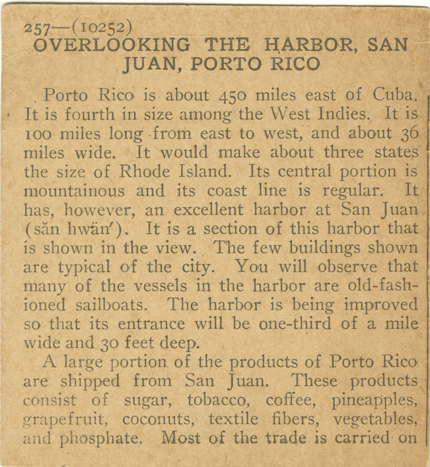
Porto Rico is about 450 miles east of Cuba. It is fourth in size among the West Indies. It is 100 miles wide. It would make about three states the size of Rhode Island. Its central portion is mountainous and its coast line is regular. It has, however, an excellent harbor at San Juan. It is a section of this harbor that is shown in the view. The few buildings shown are typical of the city. You will observe that many of the vessels in the harbor are old-fashioned sailboats. The harbor is being improved so that its entrance will be one-third of a mile wide and 30 feet deep. A large portion of the products of Porto Rico are shipped from San Juan. These products consist of sugar, tobacco, coffee, pineapples, grapefruit, coconuts, textile fibers, vegetables, and phosphate. Most of the trade is carried on
Card Back:
with the United States. This trade in 1915 amounted to over $70,000,000. Porto Rico was discovered by Columbus in 1493. Ponce de Leon took possession of the island for Spain in 1510. San Juan soon came to be the leading city. It was attacked frequently by pirates. Sir Francis Drake attacked and plundered the city in 1595. The island remained in possession of Spain until December 10, 1898. Following the Spanish War, it was ceded to the United States. The governor of the island and his executive council made up of 11 men are appointed by the President. The house of delegates is made up of 35 members, elected by the people. About two-fifth of the population are negroes. Locate Porto Rico. On which side of the island is San Juan?