Negative Number: 13581
Latitude: 44.0
Longitude: 111.0
Geographical Classification:
North America: United States and Possessions (Except Asiatic Possessions): Plateau States: Wyoming
Card Front:
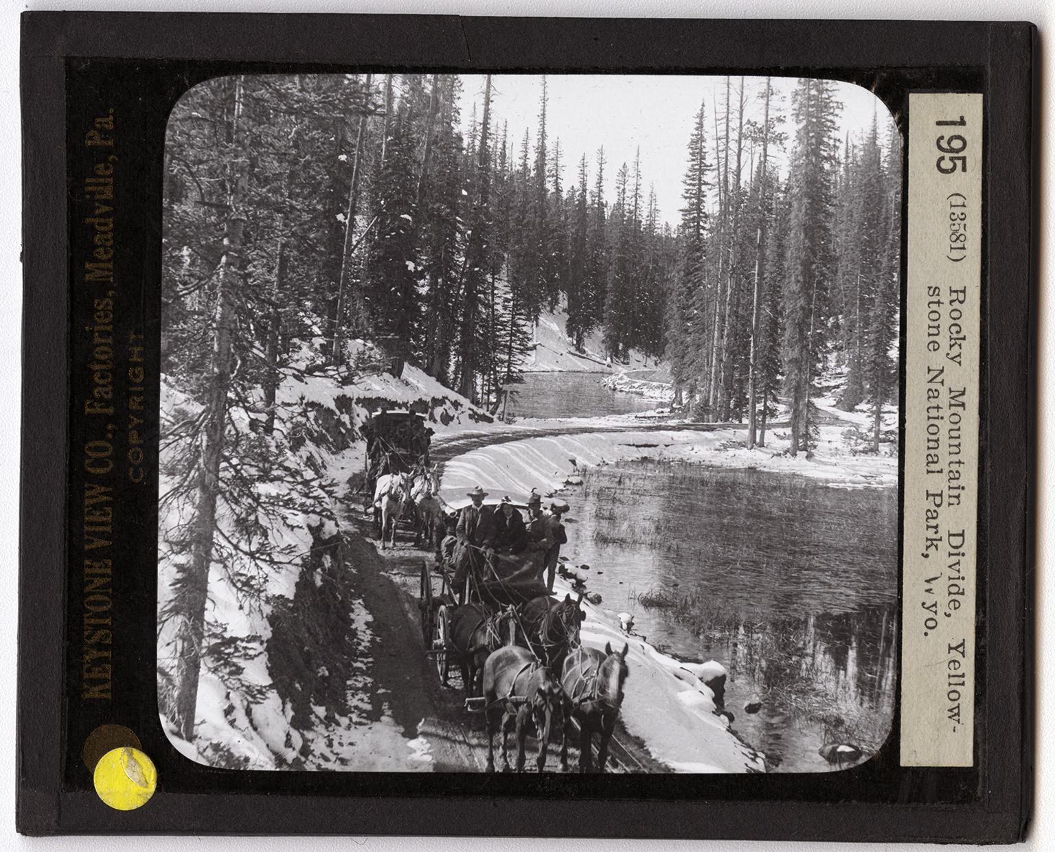
The roadway you see here is one the very roof of North America. The small body of water shown is Lake Isa. The roadway cuts it into two portions. In times of high water, Lake Isa has two outlets. One of the streams carries the waters eastward, the other, westward; and finally part of the waters of Lake Isa reaches the Atlantic and part flows into the Pacific. The waters of the lake on the west side of the road flow into the Atlantic and the waters on the east side flow into the Pacific. If you will turn to your map of the Western States and trace the Columbia River to its source you will find that one of its tributaries is in the Yellowstone National Park. This tributary is the Snake River. Then, too, you will observe that Madison River and the Yellowstone River also rise in the Park. Both of these
Card Back:
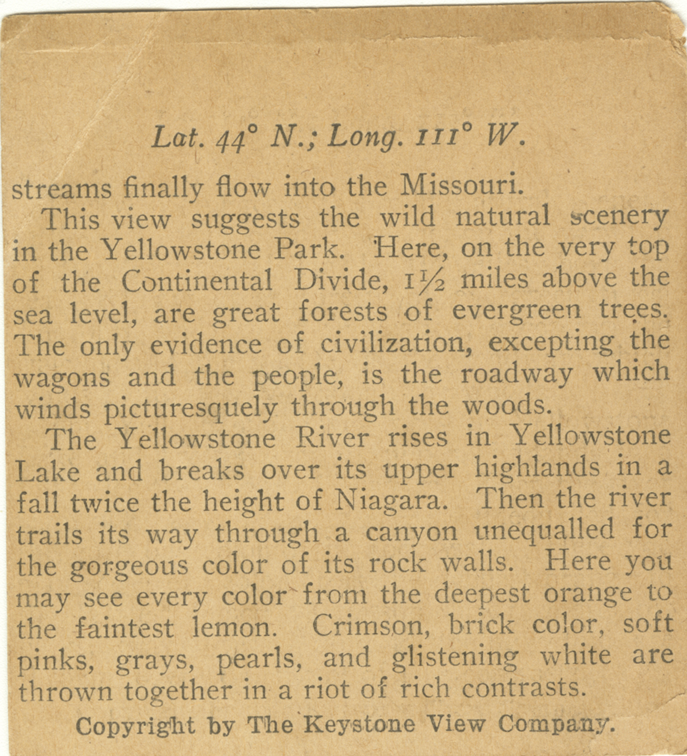
streams finally flow into the Missouri. This view suggests the wild natural scenery in the Yellowstone Park. Here, on the very top of the Continental Divide, 1 1/2 miles above the sea level, are great forests of evergreen trees. The only evidence of civilization, excepting the wagons and the people, is the roadway which winds picturesquely though the woods. The Yellowstone River rises in Yellowstone Lake and breaks over its upper highlands in a fall twice the height of Niagara. Then the river trails its way through a canyon unequalled for the gorgeous color of its rock walls. Here you may see every color from the deepest orange to the faintest lemon. Crimson, brick color, soft pinks, grays, pearls, and glistening white are thrown together in a riot of rich contrasts.